Streamlining regional forward works planning in Taranaki
- NPDC had their own forward work tool but they were looking for a replacement to support better collaboration
- Taranaki region has lots of work happening in the next 10 years with $935m investment in infrastructure assets
- 80% chance of Taranaki Maunga erupting in the next 50 years
- 20% population growth expected over the next 30 years
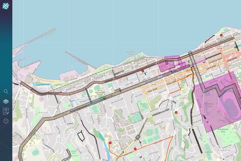
New Plymouth District Council do an awesome job with their forward works planning. As the road controlling authority for the Taranaki district, they hold quarterly planning meetings with all regional stakeholders - like the CCOs, utility companies, and events planners - to encourage collaboration and ensure all parties are aware of each other’s work. To make things even easier, NPDC created their own district forward works map to help them visualize upcoming works and enable regional collaboration.
But when administering the system became too much of a hassle due to licensing restrictions, they reached out to the National Forward Works Viewer (NFWV) team. With one subscription covering all users in the district, a friendly, local helpdesk and the ability to schematise various data sources onto a simple web-based map that’s accessible to everyone, the NFWV took the burden out of maintaining their own system and database. NPDC quickly saw the benefits and signed up to become the anchor subscriber for the Taranaki region.
But when administering the system became too much of a hassle due to licensing restrictions, they reached out to the National Forward Works Viewer (NFWV) team. With one subscription covering all users in the district, a friendly, local helpdesk and the ability to schematise various data sources onto a simple web-based map that’s accessible to everyone, the NFWV took the burden out of maintaining their own system and database. NPDC quickly saw the benefits and signed up to become the anchor subscriber for the Taranaki region.
All aboard
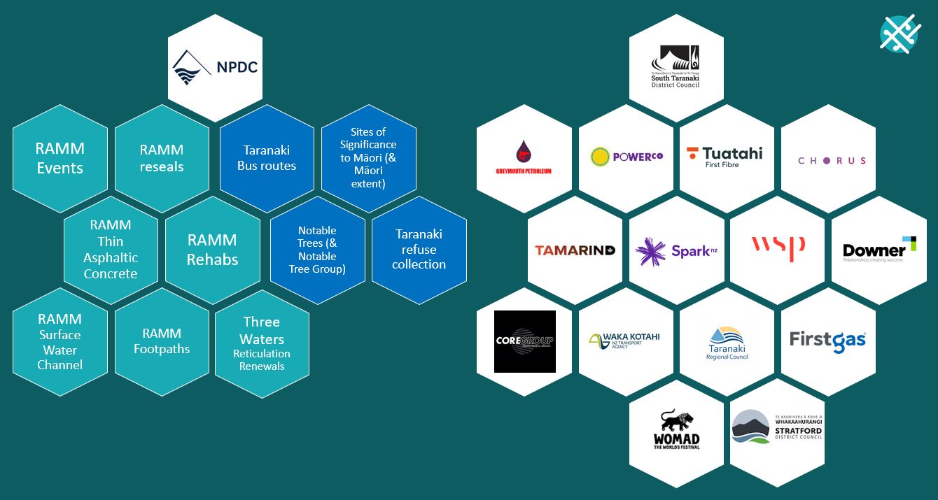
After an initial kick-off meeting to identify work programmes, data sets and stakeholders, the transport and events layers from RAMM were published to the NFWV, followed by the 50-year water programme. The water programme wasn’t spatialised so the NFWV team drew the project boundaries and matched them up to the data in the NFWV.
NPDC also took the opportunity to load several contextual layers that they saw as beneficial to the project planning process. One such layer was the sites of significance to Māori, enabling improved project planning and iwi engagement throughout the region. Another layer was refuse collection days, enabling projects with shorter time frames to avoid working around hundreds of bins in the street, which is simple but hugely beneficial.
Regional events are also published to the NFWV, so you can see any future planned works in event areas like festivals and races. This is a huge improvement from the past when road works have unexpectedly interfered with marathon routes – to the ire of the racers!
It's still early days, but we're pretty confident that the NFWV will make our lives easier in the long run. As the RCA, I have more confidence that we know what's happening in our road corridor" JOHN EAGLES, TRANSPORTATION NETWORK OPERATIONS LEAD
Locked and loaded - now to launch
Once NPDC was comfortable with their data, they introduced the NFWV to regional stakeholders during their quarterly planning meeting where they explained the purpose and its intended use going forward. The NFWV team were invited to the meeting to demonstrate its use and answer any questions the stakeholders had, and followed up with them after the meeting to ensure they were comfortable with the system.
A monthly report is produced by the NFWV team, enabling NPDC to see who in the region is uploading data to the tool and who’s signed up for an account. In the future, this will be a built-in dashboard to make project and usage insights even easier to access.
A monthly report is produced by the NFWV team, enabling NPDC to see who in the region is uploading data to the tool and who’s signed up for an account. In the future, this will be a built-in dashboard to make project and usage insights even easier to access.
Overall, everyone is pretty happy with the NFWV. John Eagles, the Transportation Network Operations Lead, says, "It's still early days but we're confident that the NFWV will make our lives easier in the long run. As the RCA, I have more confidence that we know what's happening in our road corridor."
And Kris Butterworth, Asset Engineer, agrees, "the NFWV is a fantastic planning tool and has certainly removed the onerous task of maintaining our own GIS database." In fact, it's already generating discussions between internal and external parties, which is great news for everyone involved.
And Kris Butterworth, Asset Engineer, agrees, "the NFWV is a fantastic planning tool and has certainly removed the onerous task of maintaining our own GIS database." In fact, it's already generating discussions between internal and external parties, which is great news for everyone involved.
|
Stuart Skene, Infrastructure Project Manager, has been using the NFWV to identify any possible conflicts with the council’s Universal Water Meter Installation project. Before the NFWV, it would have been virtually impossible to see what else was happening in the area – he would have only found out at the last minute when TMPs were submitted. By using the NFWV and being able to see all the works in the region, it allows him to scan future areas to identify possible conflicts, and contact the appropriate person to check on timing and adjust his work plans to avoid any issues down the line.
|
In summary, the NFWV provids NPDC with a collaborative tool that streamlines their forward works planning process and allows them to plan with and around other works happening in the region. By removing the burden of managing their own GIS database, NPDC is able to focus on their core responsibilities while improving collaboration with regional stakeholders. The NFWV also helps prevent clashes with other projects and events, resulting in better project planning and management.


