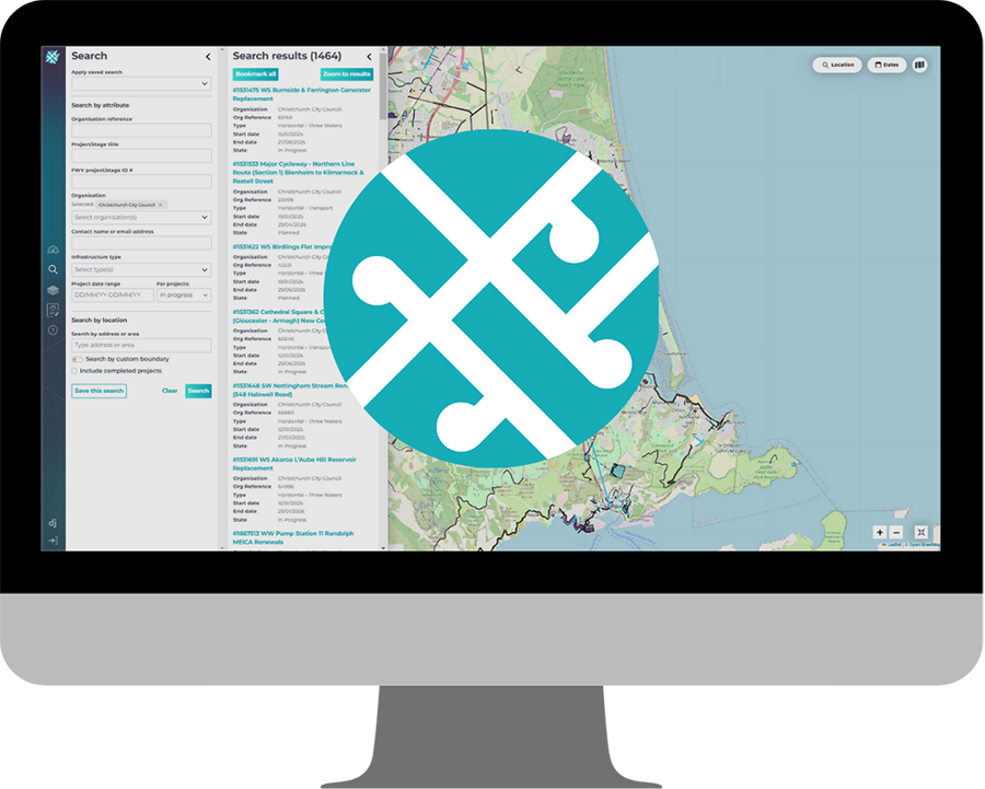
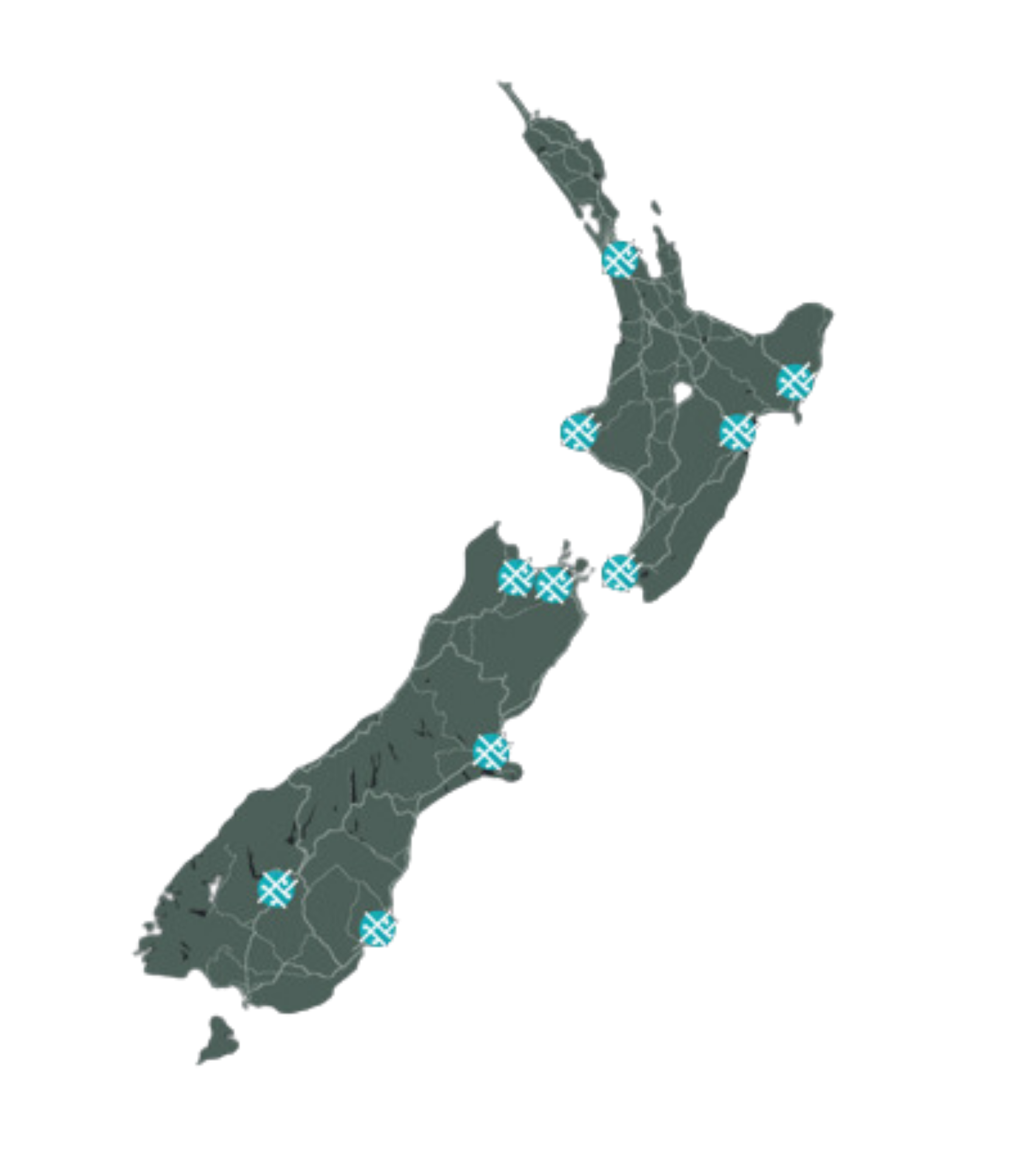
One simple platform.
Lots of data.
View current and future planned works across different organisations and regions Allows for optimisation of traffic network Mitigates programme risk and community disruption |
Identifies clashes and opportunities with other work programmes
Allows coordination of work across multiple organisations Cost benefits from information sharing and better project coordination |
Proven Benefits
PLUS ORGANISATIONS SIGNED UP
BILLION DOLLARS WORTH OF PROJECTS PUBLISHED TO THE NFWV
MILLION DOLLARS SAVED OVER THE COURSE OF THE CHRISTCHURCH REBUILD FROM USING THE NFWV*
*$13.3m of quantifiable benefits generated over 18 months during the Christchurch Rebuild. Benefits came from reduced clashes and better coordination of projects. Data from the Canterbury SDI Benefits Realisation by ConsultingWhere 2015 report
As used by
Internationally Award Winning
Features
Base MapsOpenStreetMap is used for the most up-to-date maps, plus an Aerial photo option.
See into the futureUse the time slider to view projects by day, week, month or year. Search for projects on the map or use the handy search function.
|
Bespoke Contextual LayersLayers include data to improve awareness of the area - for example haulage/public transport routes, parking zones, underground service networks.
Clash/Opportunity IdentifierNFWV identifies any clashes of opportunities to allow you to plan with greater efficiency. It also provides the contact details of the PMs so that you can collaborate much easier.
|
Easy to load project dataProject upload involves filling in a simple form, or send your data to us for bulk upload. We can make most data work!
Full service supportFriendly support team to answer any queries you may have.
|
What Our Users Say
"The Forward Works Viewer has allowed us to have conversations that wouldn't have happened previously because we wouldn't have known about the asset upgrade renewals the council had planned. Through collaboration like this, it saves ratepayers money and reduces transport impacts, benefiting everyone in the region" Ryan Cooney, Kā Huanui a Tāhuna, the Whakatipu Transport Alliance 2022 |
"Since its launch in 2013, it has proven to be invaluable – enabling better coordination and planning of work, and helping rebuild agencies avoid costs caused by unforeseen variations and programme delays.” Land Information New Zealand 2015 |
"It is useful because we can use it to see what other work is being planned...it helps us determine how to do our traffic management plans and gives us the ability to work in with other contractors working in the same area" Whites Traffic Management 2021 |
Want to see how it works?
|